Esri: Reverse Geocoding
Convert geocoordinates to addresses
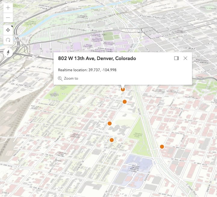
Esri, the global market leader in geographic information system (GIS) software, offers the most powerful mapping and spatial analytics technology available. Using the Esri World Geocoding Service, you can convert a latitude and longitude to an address. For example, if you are using real-time coordinates, you can use reverse geocoding to find the address for those coordinates.

Walkthrough
The block requires one single string: a location coordinate to send to Esri for geocoding. From within the block, the Geocoding service is called and the response is sent back to the client. To learn more about Esri services and get your own API credentials, visit the ArcGIS for Developers homepage.
Input
Publish message containing the location body to the esri_reverse_geocode_Input channel.
1
Output
The block appends address location into the message payload. Please refer to the Esri documentation for information on request parameters and response payloads.
1