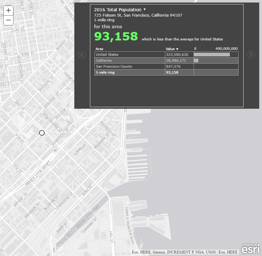
Add demographic, spending, business, and lifestyle data to maps and apps
Esri, the global market leader in geographic information system (GIS) software, offers the most powerful mapping and spatial analytics technology available. The Esri Geoenrichment Service can be used to query and display information from a large collection of enhanced demographic data sets including population, income, housing, consumer behavior, and the natural environment. To see the data sets available check out the data browser.

Walkthrough
The block requires one single string: a geolocation coordinate, which returns the attributes for total population, median household income, and median age. There are many other analysis variables or data collections you can use to define the data attributes. From within the block, the Geoenrichment service is called and the response is sent back to the client. To learn more about Esri's Geoenrichment service visit the ArcGIS for Developer site. And, go here to sign-up for an ArcGIS Developer Program.
Input
Public message containing the location coordinate to the esri_geoenrichment_input channel.
1
Output
The block appends the Esri Geoenrichment service analysis result into the message payload. Please refer to the Esri documentation for service properties or the Data Browser for information on fields.
1